Great Rock Bight Preserve
Size
28.5 acres
Description
The park-like quality of this land results from the previous owner’s devotion to it: tall specimen trees, grassy fields, gurgling wetlands, a cordate pond. All of this rolls down to a seaside bluff over a sandy cove; the land bank owns 1300 feet of Vineyard Sound beach here. The ponds host populations of rare clam shrimp, which are the only places where they have been documented on the island. Marl Pond, the easternmost of the property’s chain of ponds, is of special interest: its natural acidity was used to preserve the baskets and hemp ropes of early settlers.
Universal Access
- Difficulty rating: Difficult
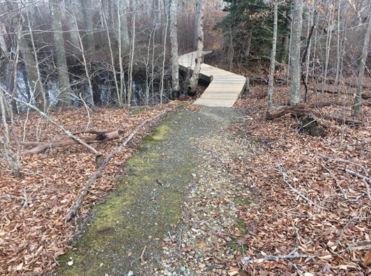
- Trail: 1,200’ of semi-hardened trail and 100’ of raised boardwalk
- Points of Interest: Marl Pond loop offers views of a large vernal pool and upland woodland.
- Benches: 1
Access
Travel 3.8 miles on the North Road after its intersection with the State Road in West Tisbury; turn right at the land bank logo post and follow signs to trailhead. Parking and access are limited and visitors may have to be turned away; please have an alternate destination in mind if you are planning a trip to this property.
Historical Highlights
- Rebecca Amos, who is reputed to have spotted Major-General Charles Grey’s Carysfort as it maneuvered in September 1778 between Cuttyhunk and Pasque Islands on its way to the Vineyard to carry out Grey’s Raid, owned a field in this area. According to the African-American Heritage Trail, she was an enslaved woman who married a Wampanoag man and died a free woman and a landowner; her great-grandson, William Martin, was the Vineyard’s first African-American whaling captain.
- The Great Rock Bight area was also known mainly for its clay, specifically its deposits of blue gardiner’s clay; a plant built at the Roaring Brook outlet produced 600,000 bricks annually and led to considerable deforestation at this end of Chilmark.
